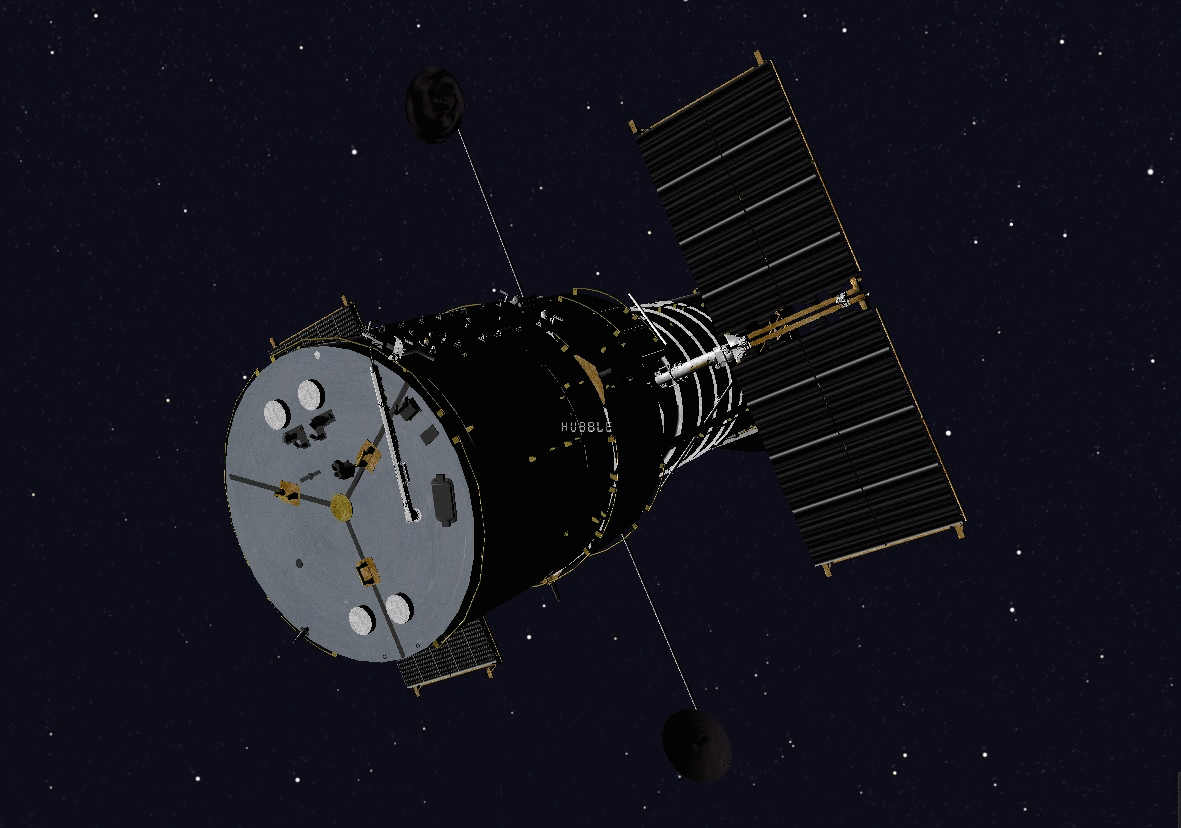
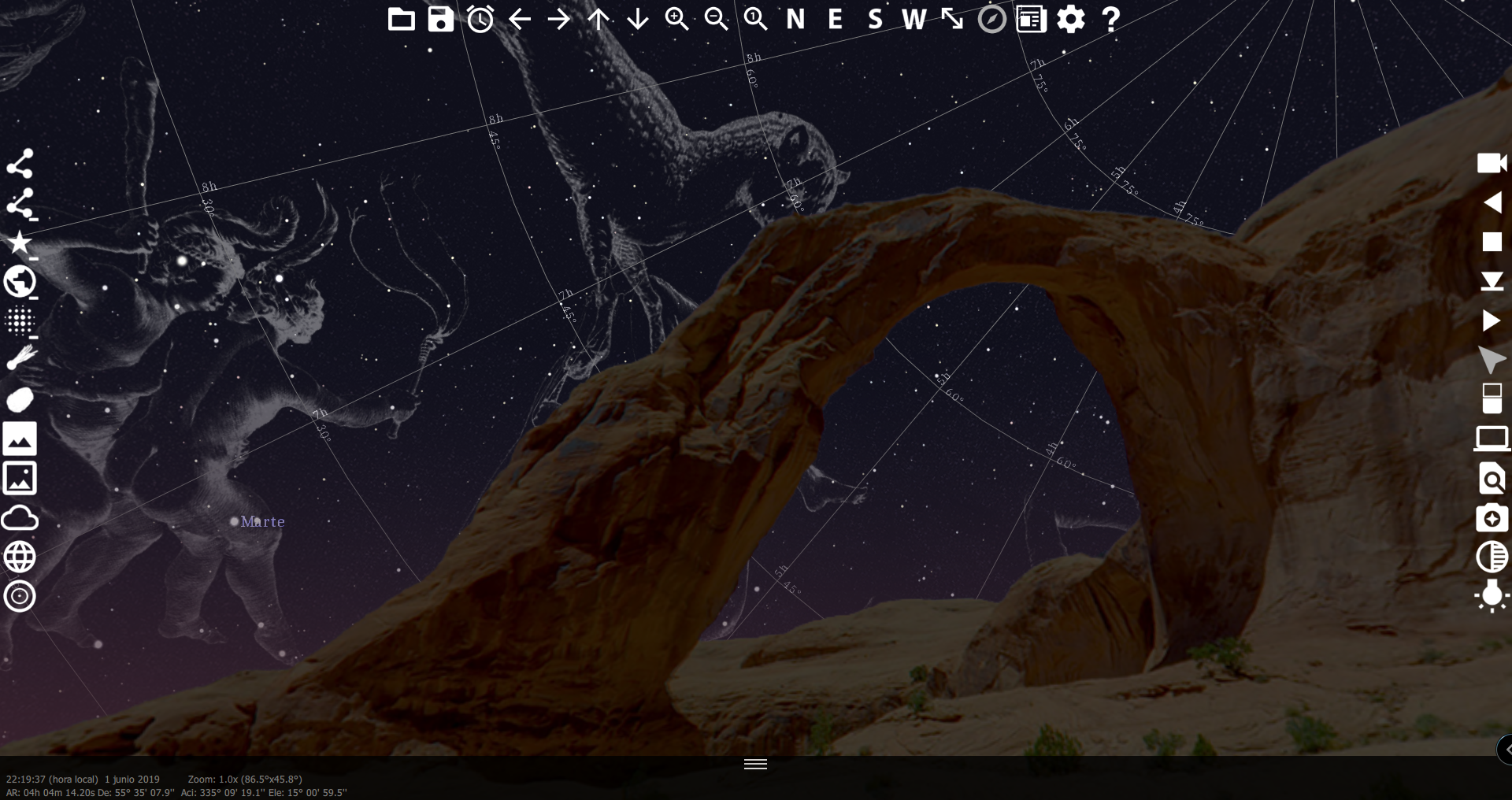
It is now possible to track the position and orientation of the Hubble Space Telescope in real time.
The telescope changing target
By clicking on the telescope and selecting the “Space telescope live” option, you can also access the instrument’s schedule, the name of the astronomer responsible for the ongoing observation, as well as the instrumentation parameters (camera used, filters, field value).
We would like to thank the STScI Web Team for their prompt response and for making the numerous findings of this exceptional telescope available to the general public!
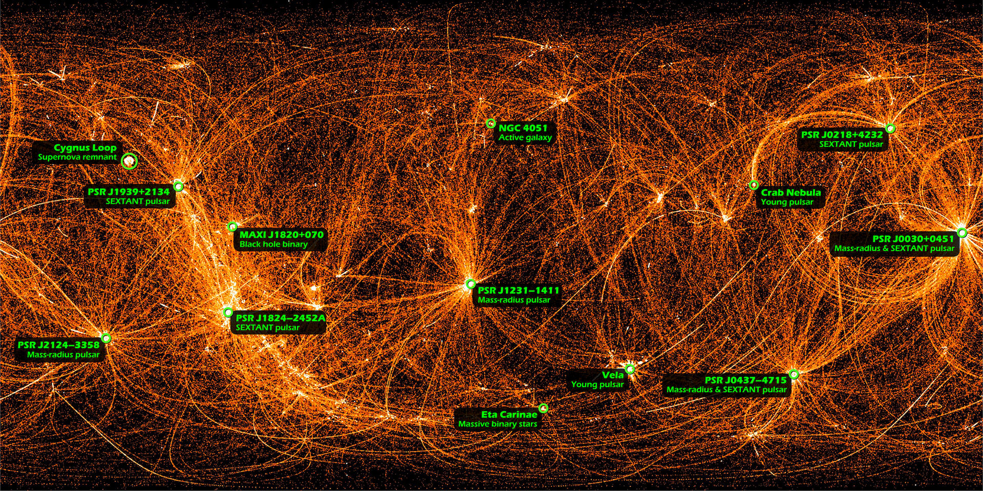
NASA has unveiled a unique sky map, depicting what we could observe if our eyes were sensitive to X-rays. This map was obtained thanks to the NICER (Neutron Star Interior Composition Explorer) instrument, which has been conducting measurements aboard the International Space Station since June 2017.
NICER’s main mission is to study the interiors of neutron stars, extremely compact and dense celestial bodies formed after a star explodes. One of the specific objectives is to measure their diameter with a precision of 5%, according to NASA
To carry out these measurements, NICER scans the sky by moving from one target to another. These movements create the arcs visible in the final image.
The accelerated movements of NICER
If some curves appear brighter than others, it is simply because the instrument has followed the same path multiple times between certain targets. These curves intersect at bright points that are powerful sources of X-rays.
Among these sources are the Cygnus Loop, a supernova remnant, and the MAXI J1820+070 source, suspected to be a black hole in reality.
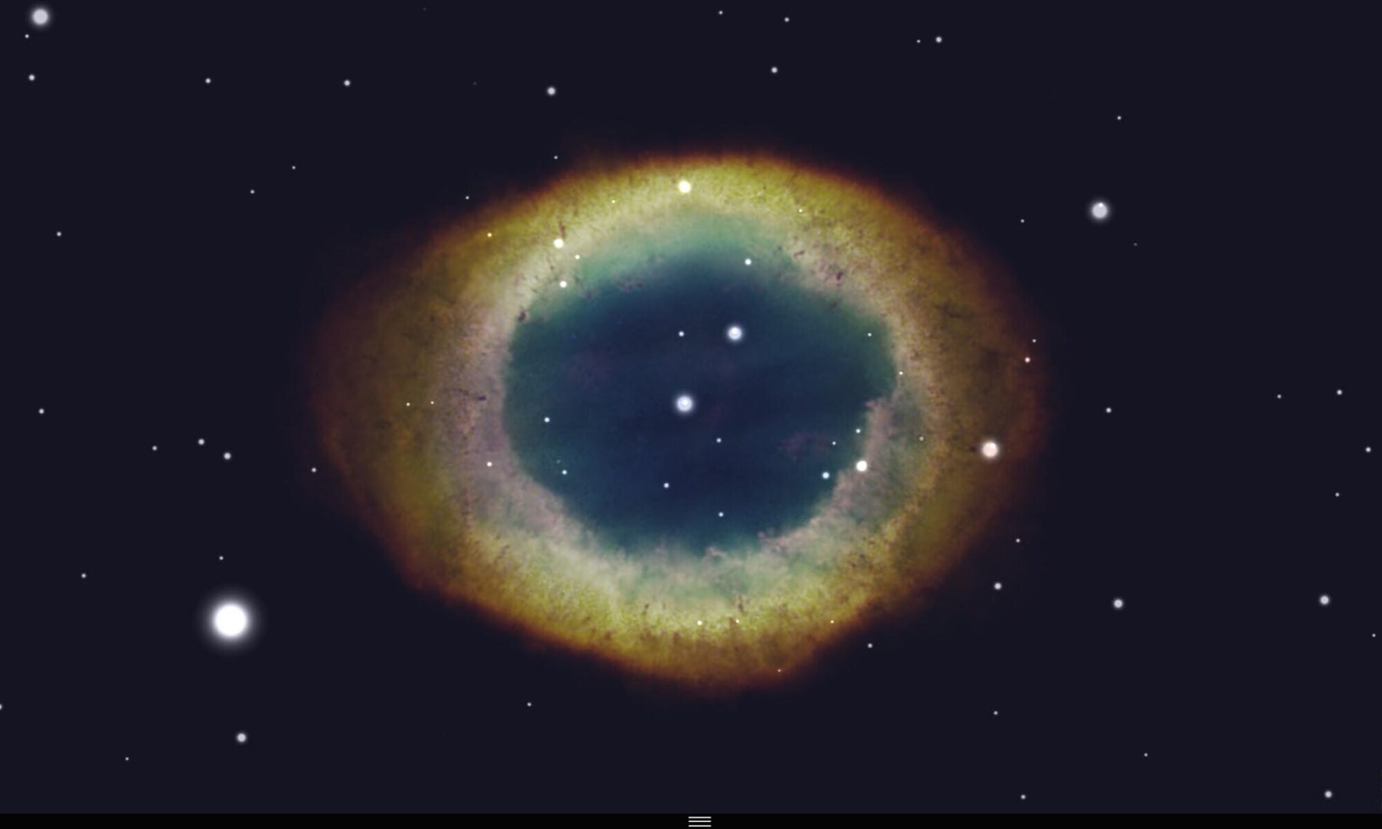
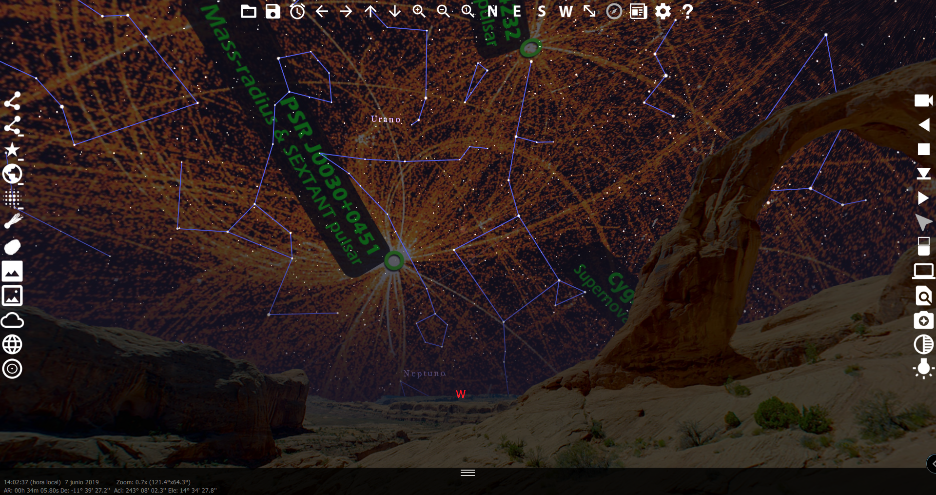
By activating the NICER module in WinStars, you can replace the usual sky background with the image that NASA has just published on the mission’s website (you also need to disable the Brunier module for the image to appear correctly).
The original NASA annotations have been intentionally preserved in the final image.
The map published by NASA as it appears in WinStars